AI TOOL / #08666
Flypix
A geospatial AI platform for Earth observation data that provides object detection and analysis.
Introduction
Geospatial AI platform for object detection and analysis on Earth observation data.
What is FlyPix AI?
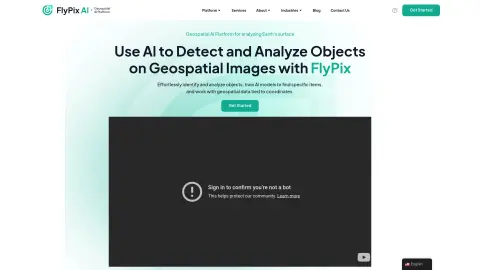
FlyPix AI is a geospatial AI platform that allows users to detect and analyze objects in geospatial images. It enables users to easily identify and analyze objects, train AI models to locate specific items, and process geospatial data associated with coordinates. The platform requires no prior knowledge of AI or machine learning.
How do I use FlyPix AI?
Users can upload geospatial images to the FlyPix AI platform, use the interactive sandbox to explore features, manually annotate objects to train custom AI models, and then use these models to automatically detect objects in new images.
Core Features of FlyPix AI
Object Detection and Analysis in Geospatial Images
Train AI models without any programming knowledge
Interactive Sandbox for Exploring Capabilities
Geospatial data associated with coordinates
Supports multispectral data
Train AI models without any programming knowledge
Interactive Sandbox for Exploring Capabilities
Geospatial data associated with coordinates
Supports multispectral data
Related
Human or Not: A Social Turing Game
A social Turing game for distinguishing humans and AI bots.
AIJOURNEY
AIJourney: Discover AI tools, expert reviews, and resources to enhance productivity.
Ardent
Database branch for coding agents to AI
FineTune AIs – Without code
A code-free AI model fine-tuning platform, used for creating custom AI models.
up-board.org
Edge computing devices and boards used in industrial automation and artificial intelligence solutions.
Magely.io
Magely.io is an AI-based game show where you can play word-guessing games with artificial intelligence to win rewards.